


 Tech
Tech
Chembra Peak, Wayanad
Explore Chembra Peak, Wayanad's highest point! Trek to 2,100m above sea level in Kerala. Discover this Wayanad gem, just 8 km from Meppadi near Kalpetta.
29 August 20266 min read
Chembra Peak Overview
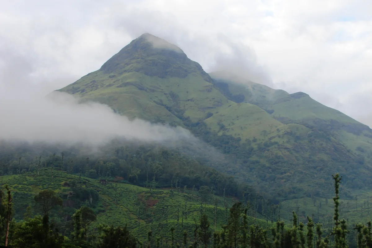
Chembra Peak is the highest point in the Wayanad district, rising to an elevation of about 2,100 meters above sea level in the Indian state of Kerala. It forms part of the Western Ghats range and sits close to the town of Meppadi, roughly 8 km away, with the district headquarters at Kalpetta a further stretch by road. The peak is visible from most parts of the district and is one of the few high altitude trails in Wayanad open to general visitors.
Prior permission from the Meppadi Forest Office is required before starting a trek to Chembra Peak. The District Tourism Promotion Council manages visitor facilities and provides trail guidance, and guided tours are available at the base for groups that prefer an escort. Overnight camping at the summit is not allowed because of the risk from wildlife, and the climb to the accessible endpoint typically takes about three hours.
Route to the Base
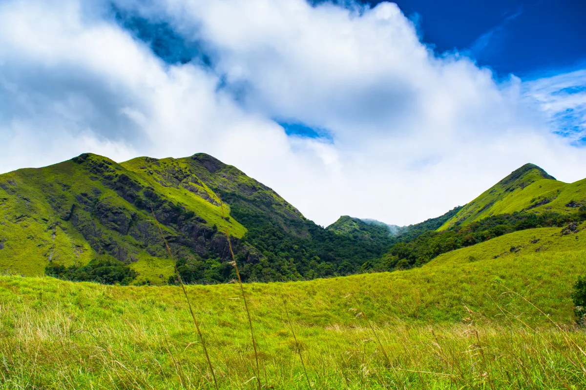
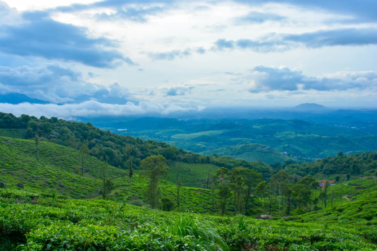
Government and private transport connect the major towns of Wayanad to Kalpetta and Meppadi, from where the Chembra base can be reached by road. The trail passes through tea gardens and lush green valleys before entering an evergreen forest that leads to a heart shaped lake, often called Heart Lake. Surrounded by mist covered slopes and varied flora, Chembra Peak is a common choice for a weekend trip, alongside other Wayanad trekking spots such as Kurumbalakotta.
How to Reach Chembra Peak
Wayanad has no railway station or airport of its own, so most visitors arrive through Kozhikode. Buses and taxis run regularly from Kozhikode to Kalpetta over the Thamarassery churam ghat road, and local transport connects Kalpetta to Meppadi. From Meppadi, the base of Chembra Peak is a short drive through tea estate roads, and private vehicles can be parked near the ticket counter.
| Mode of Travel | Nearest Point | Approximate Distance |
|---|---|---|
| Air | Calicut International Airport, Karipur | 99 km |
| Rail | Kozhikode Railway Station | 90 km |
| Road | Meppadi Bus Stand | 13 km |
| Road | Kalpetta town | 17 km |
The ghat road between Kozhikode and Wayanad is prone to delays during heavy rain and peak holiday traffic. Allow extra travel time if the plan is to reach the ticket counter early in the morning.
The Trekking Experience
The trail offers wide views from the start, passing tea and spice gardens before climbing through dense greenery. It ends at a heart shaped body of water known locally as Cupid Lake, a popular spot for photography. The gradient is gentle at first and steepens over the final stretch, which is why the route is generally rated as moderate rather than easy.
Starting the Trek
Trekkers collect an entry ticket at the counter before beginning the climb. The route can be covered on foot, or a vehicle can be used to reach the watchtower, which marks the starting point of the main Chembra Hill trail. From here, the trail opens into valley and hillside views best seen on a clear morning, before mist rolls in over the upper slopes later in the day.
The Heart Shaped Lake
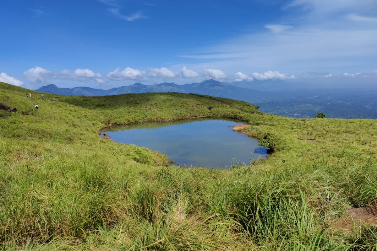
The lake at the midpoint of the trail is known locally as Hridaya Saras, or hridayathadakam, and its outline gives the trek much of its popularity. Local accounts hold that the water has never been seen to dry up, even through the hottest months of the year. The lake sits in a natural depression on the ridge, and the clearest view of its shape is from the higher ground just above it rather than from the water's edge.
Landscape and Wildlife
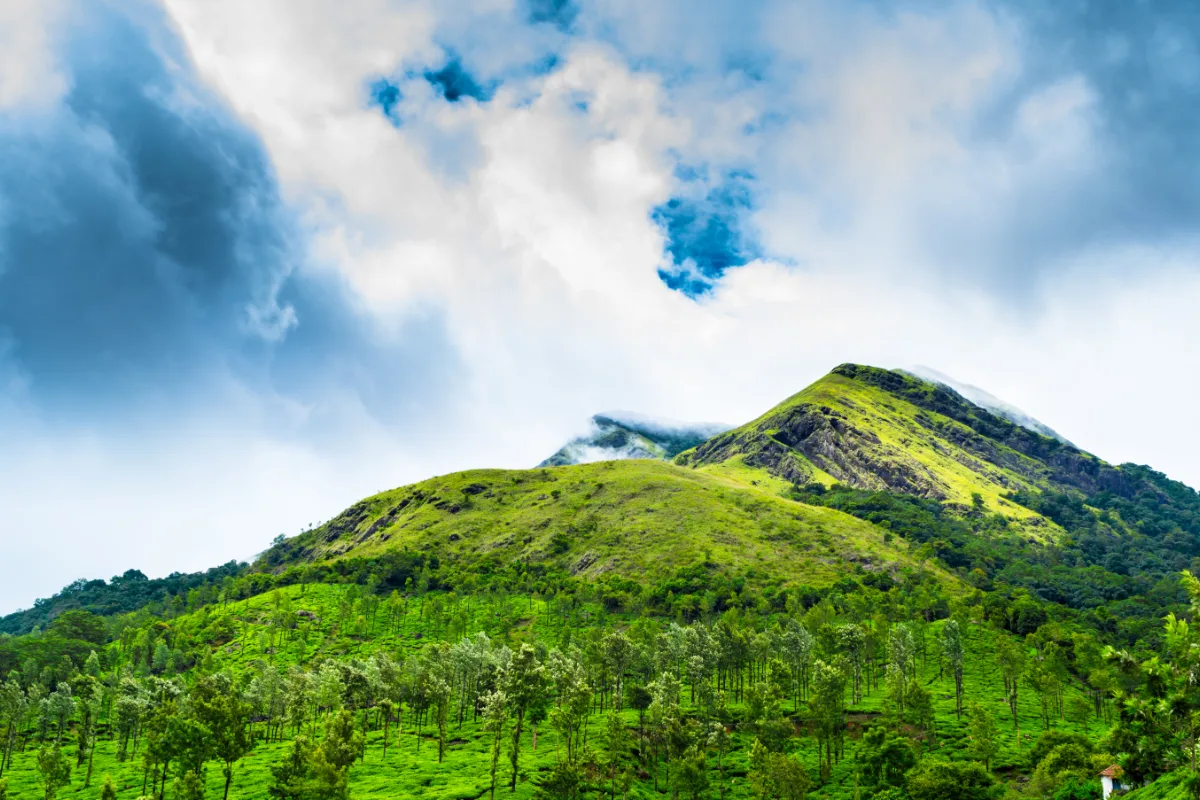
The slopes below the peak are covered in working tea plantations, while the upper reaches shift into grassland and shola forest patches. The area supports rare orchids and medicinal plants, and sightings of deer, monkeys and hill birds are common along the trail. Elephants move through the surrounding forest, which is one of the reasons the forest department restricts access hours and prohibits overnight stays.
Tea plantationsShola forestGrassland ridgesOrchidsMalabar whistling thrushWild elephants
Trek Route and Distance
The path from the watchtower to the lake is considered moderately challenging, passing through tea plantations and forest before reaching more open terrain near the top. The best view of the lake is available from the highest accessible point, after which the trail descends toward the water. Trekkers must return to the ticket counter by evening, since overnight camping is not permitted.
| Segment | Approximate Distance |
|---|---|
| Ticket counter to watchtower | 1 km |
| Watchtower to Chembra lake | 2 km |
| Lake to Chembra crest (closed to trekkers) | 1.5 km |
| Total permitted trekking distance | 3 to 3.5 km |
Access to Chembra Peak is limited to about 200 trekkers per day on a first come, first served basis, and forest department authorization is required before starting the climb.
Permits, Entry Fees and Daily Limits
Permits are issued at the ticket counter on the day of the trek, and only offline booking is available. Since the daily quota is capped and issued in order of arrival, groups travelling on weekends and holidays are advised to reach the counter well before the entry window closes. A valid photo ID is checked at the counter, and separate charges apply for still and video cameras.
| Charge | Approximate Rate |
|---|---|
| Entry, Indian visitor | Rs. 50 |
| Entry, foreign visitor | Rs. 80 |
| Still camera | Rs. 53 |
| Video camera | Rs. 301 |
| Guided trek package, Indian group of five | Rs. 4,000 |
| Guided trek package, foreign group of five | Rs. 8,000 |
Rates and entry timings are revised periodically by the forest department and the District Tourism Promotion Council. Confirm the current charges and the daily quota with the Meppadi Forest Office before travelling.
Visiting Time and Best Season
Viewpoint open from 7 am to 5 pm
Entry to the trail generally closes by early afternoon
Trek typically takes 3 to 4 hours each way
Trekking season generally runs from October to February
Chembra Peak can be visited through most of the year except during the monsoon, when heavy rain makes the trail unsafe. Summer months bring high humidity, which also makes trekking difficult. The most comfortable period to visit is between December and February, once the monsoon has passed and the surrounding hills are covered in fresh greenery. Starting early in the morning is recommended to make the most of cooler temperatures and clearer views.
Image Gallery
Trekking Tips and Essentials
Carry sufficient drinking water and light snacks, as there are no shops beyond the ticket counter
Wear sturdy trekking shoes suited for uneven and slippery terrain
Check weather and landslide advisories before travel, especially during the monsoon
Carry a valid ID for forest department verification at the ticket counter
Pack a light raincoat, since mist and sudden showers are common on the upper slopes
Carry all waste back down, since plastic is restricted inside the reserve
Avoid loud noise and keep to the marked trail because of wildlife movement in the area
Suggested Trek Day Plan
- Reach the ticket counter by 7 am and complete permit formalities
- Walk or drive the first kilometre to the watchtower
- Climb the open ridge section toward the viewpoint above the lake
- Spend time at the heart shaped lake and the surrounding grassland
- Begin the descent by early afternoon to clear the trail before closing time
Summary
Highest peak in Wayanad at about 2,100 meters
Forest department permission required before trekking
Permitted trekking distance is about 3 to 3.5 km
Daily access capped at roughly 200 trekkers
Best visited between December and February
Overnight camping is not allowed
Chembra Peak remains one of Wayanad's most recognizable trekking destinations, combining an accessible trail with wide ranging views of the district. Planning around the daily permit limit and the seasonal weather makes for a smoother visit, and pairing the trek with nearby stops such as Pookode Lake or Karapuzha Dam fills out a comfortable two day trip in the region.
Nearby Hotels/Resorts
Nearby Attractions
Frequently Asked Questions
Is permission required to trek Chembra Peak?
Yes. Trekkers need prior authorization from the Meppadi Forest Office, and access is capped at about 200 people per day on a first come, first served basis.
What is the best time to visit Chembra Peak?
The period from December to February, after the monsoon season, offers the most comfortable trekking conditions with cooler temperatures and clear greenery.
How long does the Chembra Peak trek take?
The trek typically takes 3 to 4 hours each way, covering a permitted distance of about 3 to 3.5 km from the ticket counter.
Is camping allowed at Chembra Peak?
No. Overnight camping at the summit is not permitted due to the risk from wildlife, and trekkers must return to the base by evening.
Can visitors trek all the way to the Chembra crest?
No. The crest lies about 1.5 km beyond the lake, but that final stretch is closed to trekkers. The heart shaped lake marks the accessible endpoint of the trail.
Reviews
No reviews yet!
Recent Stories
Tech Travel
En Ooru, Wayanad: Ticket Price, Timings and Booking Guide
30 September 2026 Tech
TechGPT-6 Astra: Overview, Features, Pricing and Competitor Comparison
25 September 2026 Travel
Pookode Lake, Wayanad: Timings, Entry Fee, Boating and Visitor Guide
29 August 2026 Travel
Banasura Sagar Dam, Wayanad: A Complete Travel Guide
29 August 2026 Travel